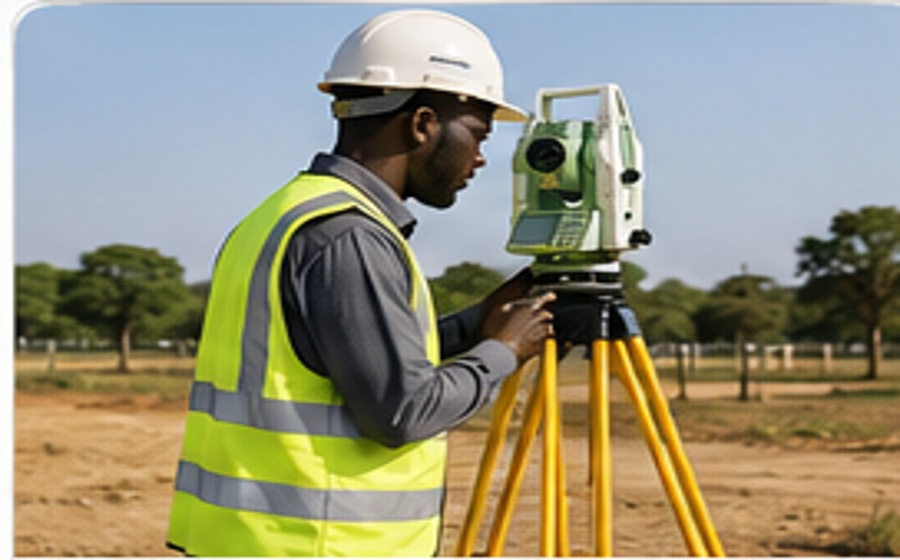
Topographical Surveying & Mapping
Detailed terrain, contour and feature surveys for planning, design and construction.
Explore Service →Seline Consultants provides professional land surveying, cadastral, engineering, mapping, GIS, UAV, remote sensing and geodetic solutions supported by practical property experience and modern technology.
Our services support property owners, developers, architects, engineers, institutions, investors and public-sector projects. Each assignment is planned around its purpose, site conditions, accuracy requirements and expected deliverables.
Detailed terrain, contour and feature surveys for planning, design and construction.
Explore Service →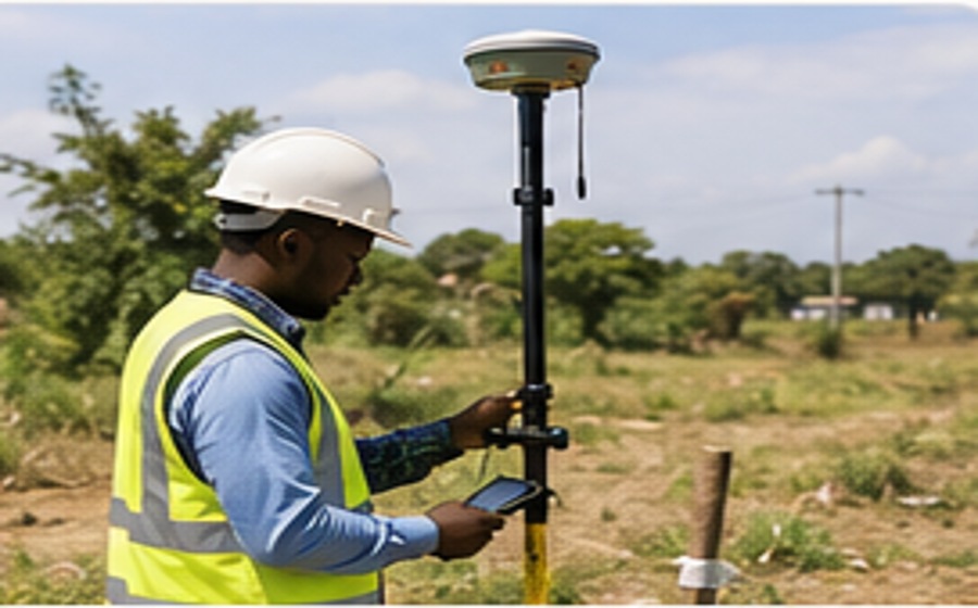
Boundary definition, subdivision, mutation, beaconing, amalgamation and land registration support.
Explore Service →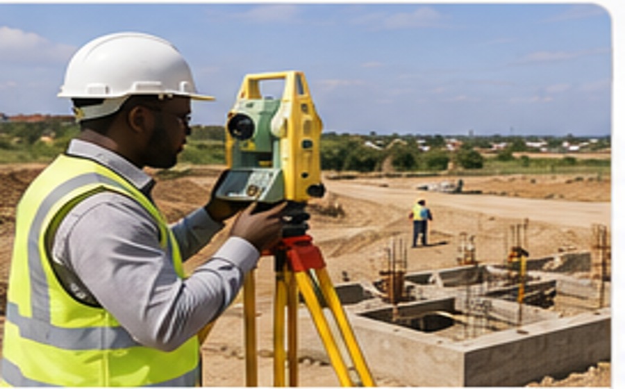
Setting-out, alignment, level control, deformation monitoring and as-built surveys for engineering works.
Explore Service →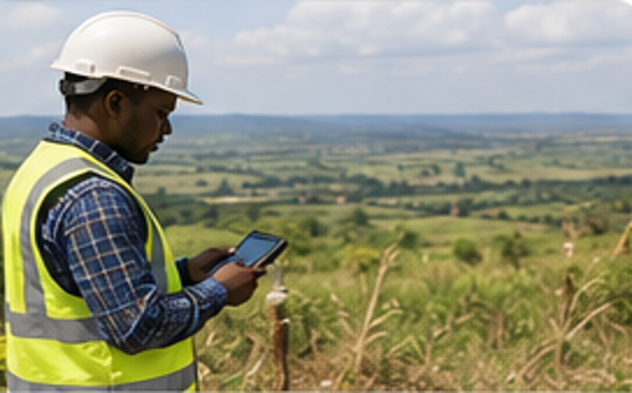
Practical land-use, subdivision and development planning for sustainable property development.
Explore Service →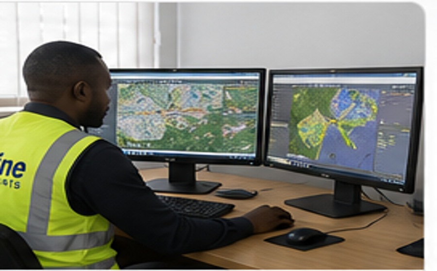
Spatial databases, digital mapping, geospatial analysis and decision-support systems.
Explore Service →
Integrated spatial planning for settlements, infrastructure, utilities, access and growth.
Explore Service →
Evidence-led spatial frameworks that align land, infrastructure, environment and investment.
Explore Service →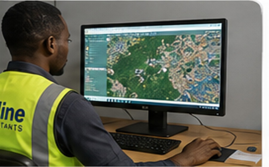
Satellite and remotely sensed data interpretation for terrain, environment and land monitoring.
Explore Service →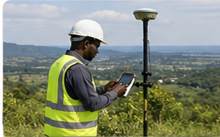
High-accuracy GNSS control networks, benchmarks and reference frameworks for precise projects.
Explore Service →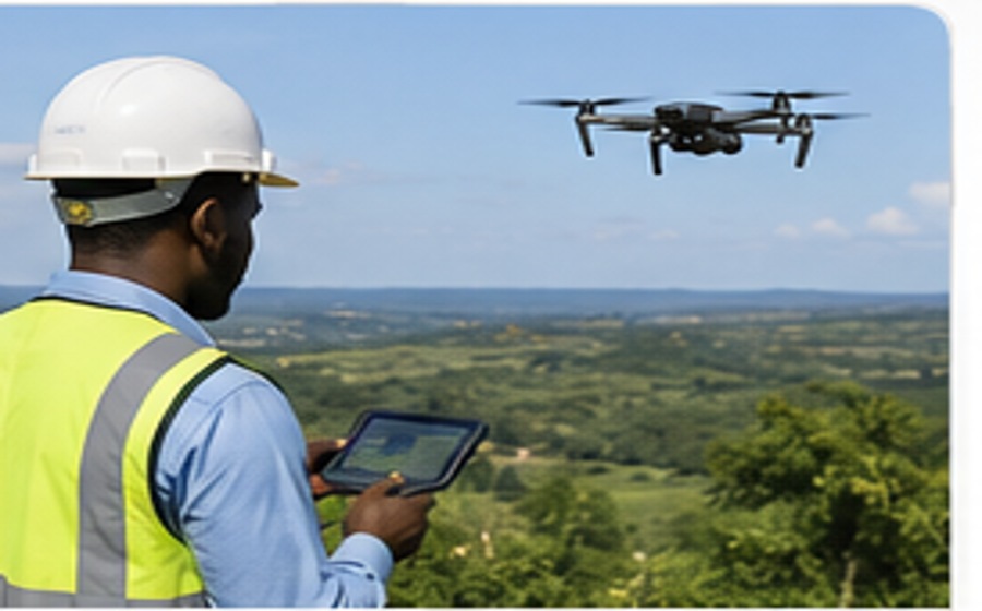
Drone mapping, orthophotos, 3D terrain models, progress mapping and photogrammetry.
Explore Service →
Structured geospatial data management, digital records and location intelligence workflows.
Explore Service →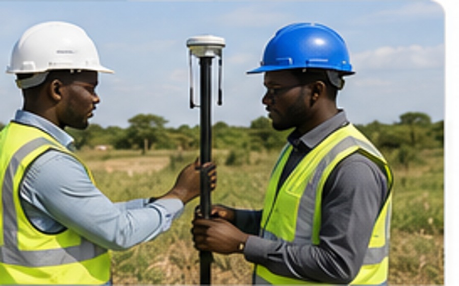
Practical guidance and training in modern survey instruments, field procedures and data workflows.
Explore Service →Every assignment follows a disciplined workflow to improve accuracy, efficiency and clarity for the client.
We review the project location, purpose, available information and the professional result required.
Appropriate control, equipment and field procedures are selected for accurate and efficient observations.
Survey observations are processed, verified and developed into dependable spatial information.
Plans, maps, coordinates, datasets or reports are delivered with practical explanation and guidance.
Seline Consultants combines professional field experience with GNSS positioning, digital survey instruments, UAV data capture, GIS analysis and modern spatial processing.